- Home
Welcome !
CAPITELCO is a fully owned Bahraini company that is involved in all aspects of Surveying and Postioning with satisfied clients spread all over the Gulf Kingdom.
Capitelco is a leading provider of advanced positioning solutions that maximize productivity and enhance profitability.
- Business Sector
- Product
Product Category
GIS & Survey
Constructions
Marine
Services
- Contact Us
Ready To Call Us
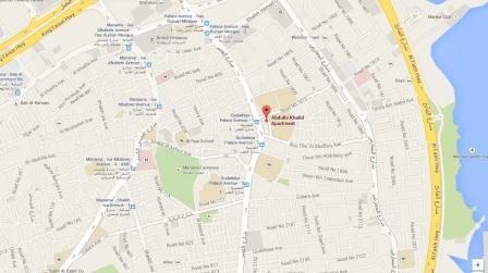
Manama: Head Office
Flat 56 Building 962 Road 1812 Block 318,
Hoora,
Kingdom of Bahrain.
Tel: +973 17 340 301
Fax: +973 17 340 302


|
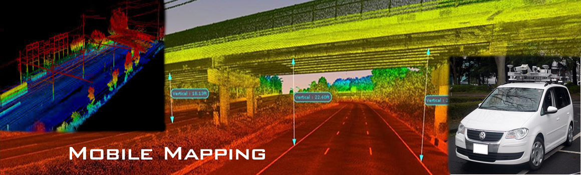
GIS & Survey
Geographic information system (GIS) technology brings this
functionality and more to one place, providing a central location
to conduct spatial analysis, overlay data, and integrate other
solutions and systems.
Surveyors depend on a variety of software and technology to
gather existing information, collect new information, analyze
data, produce plans, manage projects, and deliver accurate data.
|
Construction &
Enigneering
GIS technology improves the mechanics
and management for building new infrastructure by integrating
design and site data, interfacing with machine control, and
providing the framework for as-built data collection.
A completed construction project rarely reflects its original plan
exactly; instead, variations occur, requiring a revised design plan.
GIS technology provides the tools to collect precise site data and
document existing conditions.
|
IT Solutions
CapitelCo is an international IT solutions and managed services provider with a breadth of
knowledge and expertise in communications and collaboration; data centre and
cloud services; and managed services.
|
CAPITELCO | TEL 00 973 1734 0301 FAX 00 00 973 1734 0301