Slide 1
Hydrographic & Coastal Monitoring

In today’s marine, coastal and infrastructure environments, the shoreline, seabed, and water-column are dynamic and complex.

previous arrow
next arrow

Welcome to Capitelco

At CapitelCo, we take pride in being a Bahraini company with a strong presence across the Gulf region. With expertise spanning Surveying, Positioning, and IT Solutions, we have built lasting relationships with satisfied clients who trust us to deliver excellence.

Our Solutions

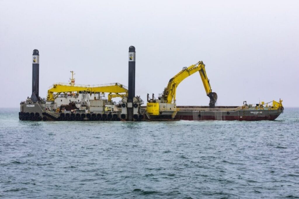
Bathymetry Solutions

Accurate underwater terrain mapping is no longer a niche service — it has become a critical component of marine infrastructure,

Structural Monitoring Solution

We supply and support complete monitoring setups for bridges, tunnels, buildings, dams, slopes, and other critical structures

3D Laser Scanning Solution

Modern infrastructure, construction, and asset management demand absolute precision in capturing real-world conditions.

Machine Control Solution

Our Machine Control Solution integrates digital 3D design data, machine-mounted guidance hardware,

Our Services

We are a team of preofessional providing data driven solutions for startups to grow with our combined

Bathymetry

Sub-surface terrain mapping has moved from optional to essential in marine

Accurate positioning forms the foundation of every successful project. As construction and infrastructure 

Machine Control

In today’s construction environment, high productivity must go hand-in-hand with high accurac

Structural Monitoring

Maintaining the integrity of built assets is essential in today’s high-stakes infrastructure environment

GNSS PRN Network

Reliable, real-time positioning is the backbone of modern surveying, machine control, monitoring,

Survey Equipment Calibration

Reliable measurements start with instruments you can trust. In modern surveying and construction workflows