- Home
Welcome !
CAPITELCO is a fully owned Bahraini company that is involved in all aspects of Surveying and Postioning with satisfied clients spread all over the Gulf Kingdom.
Capitelco is a leading provider of advanced positioning solutions that maximize productivity and enhance profitability.
- Business Sector
- Product
Product Category
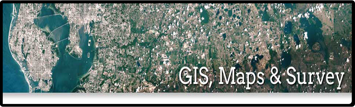
GIS & Survey
Constructions
Marine
Services
- Contact Us
Ready To Call Us
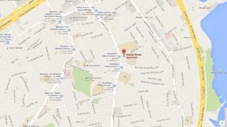
Manama: Head Office
Flat 56 Building 962 Road 1812 Block 318,
Hoora,
Kingdom of Bahrain.
Tel: +973 17 340 301
Fax: +973 17 340 302


|
GIS software adds intelligence to spatial data, whether the data is generated in the field with GPS or remotely with lidar and photogrammetry. You can enter raw data, measurements, and field sketches directly into the GIS, enabling you to efficiently manage your data in a geodatabase with other spatial information. | |||
|
CAPITELCO | TEL 00 973 1734 0301 FAX 00 00 973 1734 0301